-50%
1855 Map of Michigan & part of Wisconsin For Cheap
Original price was: $8.95.$4.48Current price is: $4.48.
27 people are viewing this right now
Guaranteed safe & secure checkout
Description
Additional Information
Questions
Description
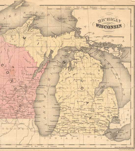
FS096

This is a full color reproduction of an 1855 map of Michigan with parts of Wisconsin. Note: What appear to be roads are railroads. All of our maps come in a protective, archivally safe sleeve. Measurements: 11-1 2 tall x 10-1 2 wide. Sorry, maps are not returnable. Sorry, maps are not returnable.
Additional Information
| Title | Default Title |
|---|
Related products
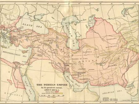
500 BC Map of the Persian Empire For Discount
Original price was: $8.95.$4.48Current price is: $4.48.
Information
Customer Care
Other Business
Newsletter
risegrooveus.shop © 2025 All Rights Reserved
- Image
- SKU
- Rating
- Price
- Stock
- Description
- Weight
- Dimensions
- Additional information
- Add to cart